Precision Mapping & Data Collection for Land, Water and Beyond
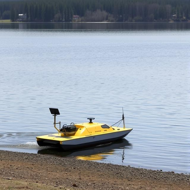
We use in-house technology to collect hydrographic and topographic data autonomously with a single platform.
Product Applications
Where Our Technology Makes a Difference
Bathymetric and Topographic Surveys
We deliver high-quality depth and terrain survey data, empowering you to create detailed, reliable charts for critical applications.
Environmental Data Acquisition
Capture geo-stamped weather, CTD, magnetic, and other-sensor data for accurate hydrological insights, all within a single integrated platform.
Why Choose Us
Our Unique Advantages
Rapid Global Deployment
Our single-operator driven systems are flight-portable and designed for instant global deployment, enabling fast market penetration.


Integrated Terrain & Subsurface Data
Seamlessly collect both elevation and depth data simultaneously, eliminating costly and time-consuming traditional level surveys.
Precision Autonomy
Advance algorithms ensure unparalleled accuracy and minimize human error, driving faster and more cost-effective data acquisition.


In-House Technology
We leverage in-house technology, developed in partnership with premier Indian institutes, to provide tailored solutions and first-line technical expertise. You benefit from our complete ownership and accountability.
Let's collaborate
You decide how to work with us
As a Service

Access on-demand data collection, anywhere, anytime, tailored to your project needs. Eliminate large upfront investments and scale your data acquisition efficiently.
Get StartedAs a Product

Equip your team with our advanced tools and integrate them seamlessly into your existing workflows. Gain full control over your data acquisition and analysis.
Get Started